Hiking

This is where I publish descriptions/stories about my various hiking adventures (mostly in the mountains).  In general, I try to publish the route, include some photos, and describe the hiking adventure (and any foibles along the way, of which I have more than a few).

lake city 22

Hikes

screenshot 2026 05 02 at 3.37.00 pm

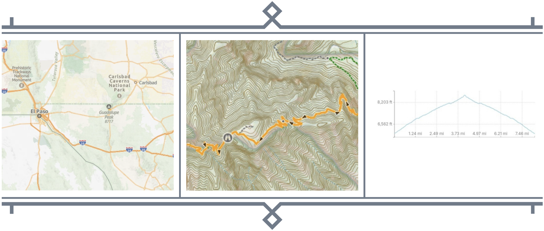
Guadalupe Peak, inside Guadalupe National Park in far west Texas, is the highest peak in Texas and has long been on my bucket list. Guadalupe national park is tucked against the New Mexico just a bit south of Carlsbad Caverns, so basically in the middle of nowhere. I did the hike on July 16, so it was the hot season.


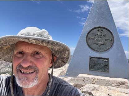
I had intended to make camp at Pine Springs on day one and drive tour some of the high clearance roads on the New Mexico side, hike the peak on day two, break camp and go home day 3.  I changed plans when I arrived and was not tohappy with the camp site I had reserved – no shade and the closes parking was 50m or so from the campsite.  I decided to launch straight away into the hike so I started a bit late around 10 AM.  The hike is 8.2 miles with about 3200 feet of elevation gain. The hike up is strenuous, especially the first couple of miles. There are a couple of spots with some mild exposure, but nothing extreme. I summited  in early afternoon enjoyed a late lunch at the summit by the monument to the Postal Air Service. Views were spectacular.


I struggled for a little bit with cramps when hiking down and was a bit dehydrated.  I carried a 2L camel bak in my pack plus three litres of water.  I drank it all, so should have had more, which is a mistake I don’t usually make.  Ultimately I got back to my jeep around 4pm.


The hike was spectacular. I recommend not doing it in mid July. And I would have been better served to make a camp so I could have started in the early morning and avoided the afternoon heat. If you are foolish enough (like me) to avoid this good advice, make sure to carry extra water – you’ll need it.

gp 1
Selfie from Guadalupe Peak with the Monument to the Postal Air Service in the background.
gp 2
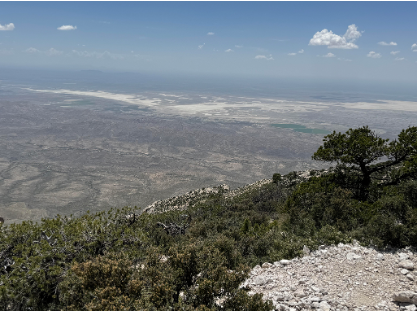
The view from the top is spectacular.
gp 3
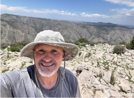
A selfie from near the summit. There is no shortage of fine scenery along the way.
screenshot 2026 05 02 at 3.57.23 pm

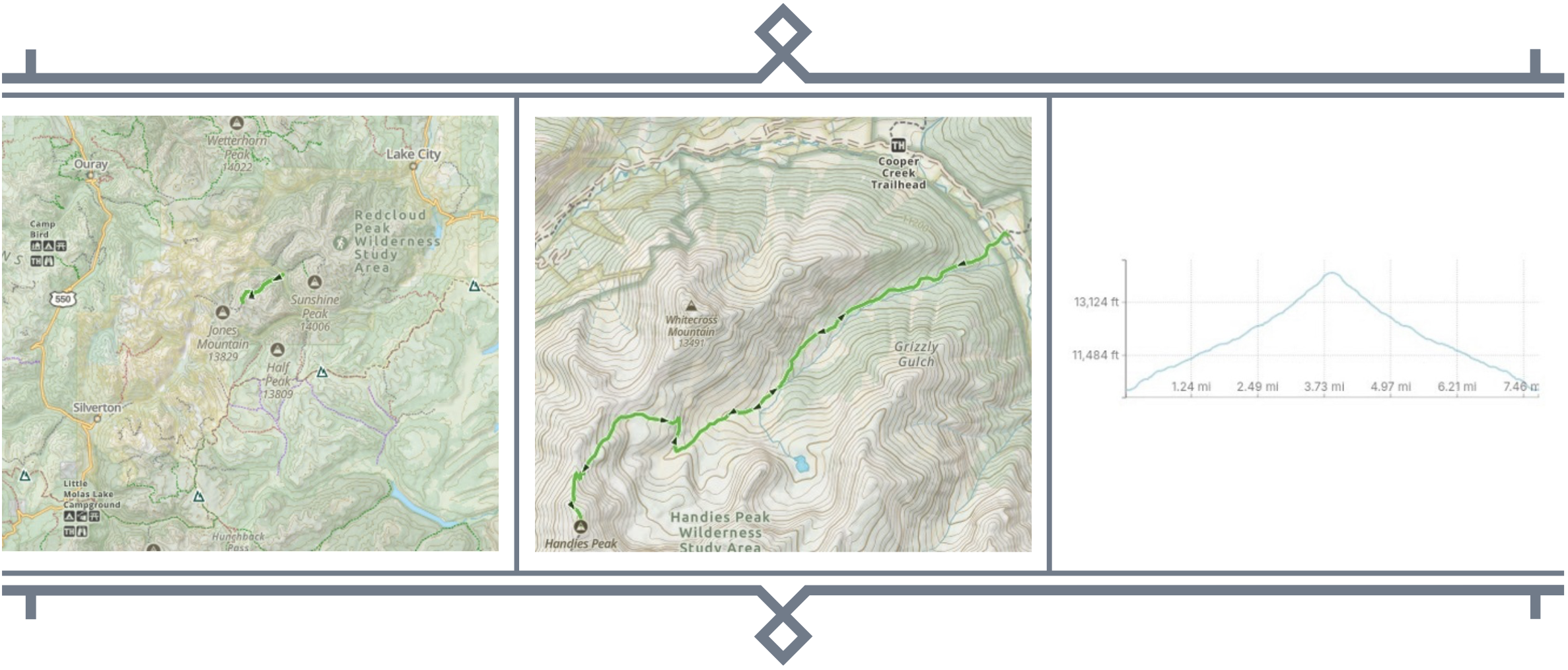
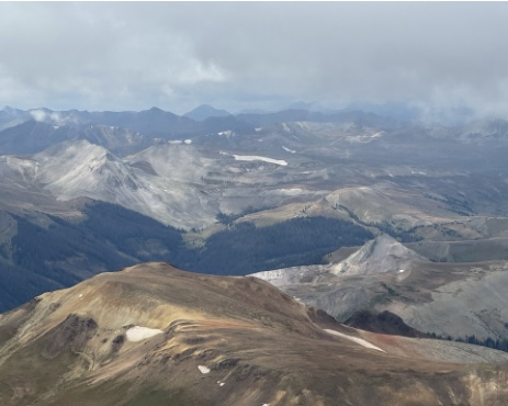
Handies peak is a Colorado 14er in the Ouray, Lake City, Silverton area of the San Juan Mountains in Southwest Colorado – 14,058 feet at the top.


I did the hike in in mid August, which is prime hiking season in the San Juans. I camped at Williams Creek Campground near lake city. In addition to hiking, this is prime Jeep trail territory. I camped for 5 days, hiked to two summits, and spent a few days exploring the Jeep trails.


There are two routes to the summit and I launched from the Silver Creek Trailhead near Grizzly gulch. The trail is 7.7 miles with about 3800 feet of elevation gain. The hike up is awsome, just as you would expect for the San Juans (AKA, the Alps of the Rockies). I found the the hiking near the summit very strenuous,which I blamed on the elevation. It was 10 steps and rest a breath or two for the last ½ mile or so before the summit. Summit views did not disappoint.


At the summit, I found folks who hide hiked up from American Basin and learned that I had chosen the significantly harder of the two routes. I lunched at the summit and headed down after about an hour of soaking it all in. The hike down was beautiful and uneventful, though I must say I was more fatigued than I expected and I blame that too on the altitude.


The Silver Creek Trailhead is on the high clearance road known as the Alpine Loop.  If you have the time and a high clearance vehicle I highly recommended making the drive that loops between Silverton and Lake City and hits several ghost towns and abandoned gold mines along the way.

hp 1
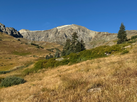
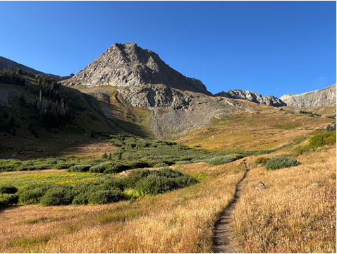
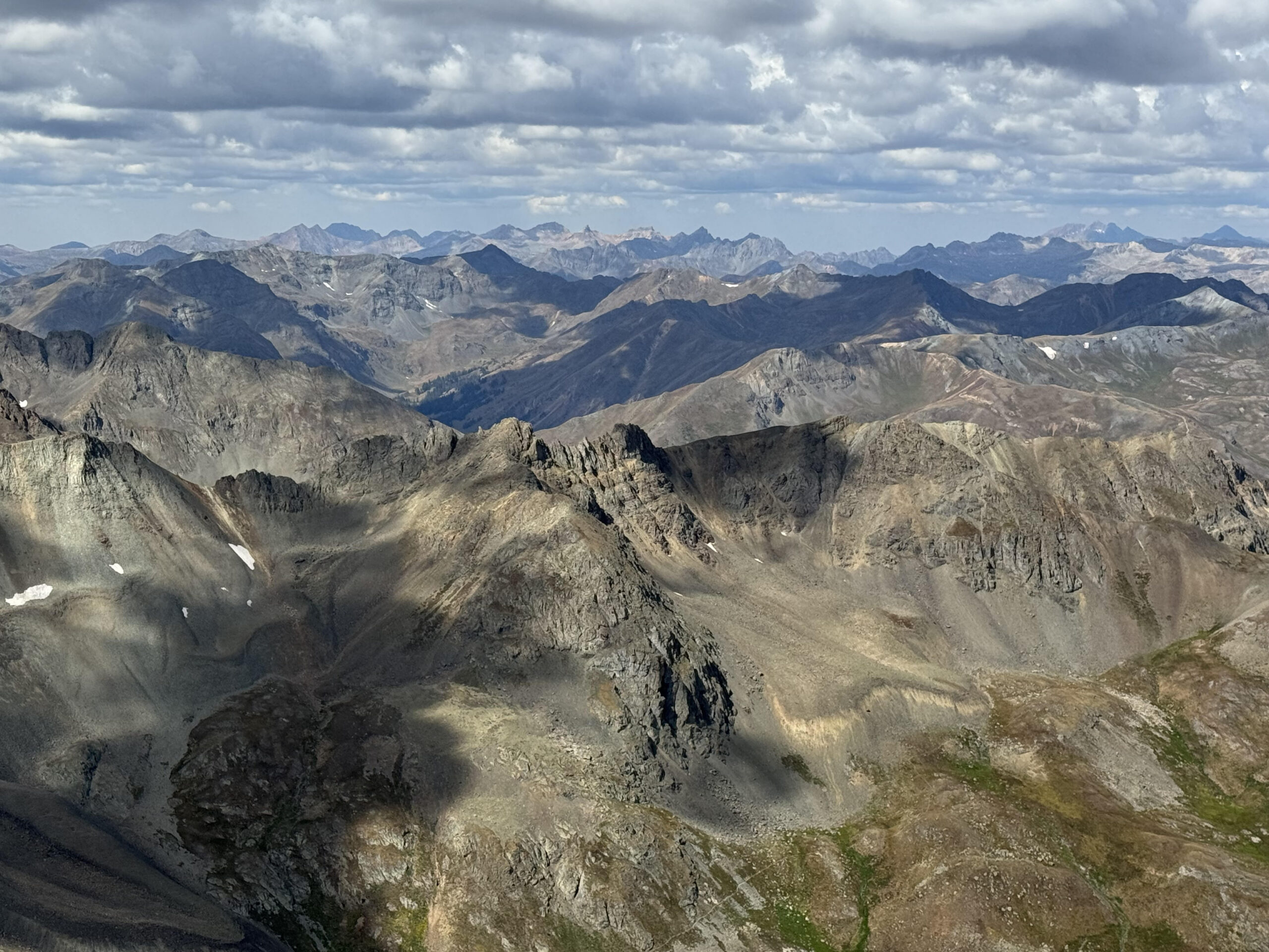
Looking up Grizzly Gulch toward Handies Peak.
hp 2
Another view up Grizzly Gulch toward Handies Peak.
hp 3
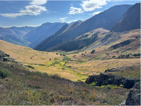
View looking back down the valley.
hp 4
A selfie at the top of Handies Peak.
hp 5
Another view from the top.
hp 6
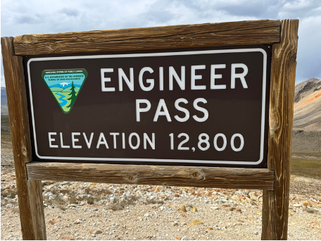
At the top of Engineer Pass on the Alpine Loop between Lake City and Silverton. I highly recommend the drive if you have the time and a high clearance vehicle.
screenshot 2026 05 02 at 5.52.17 pm

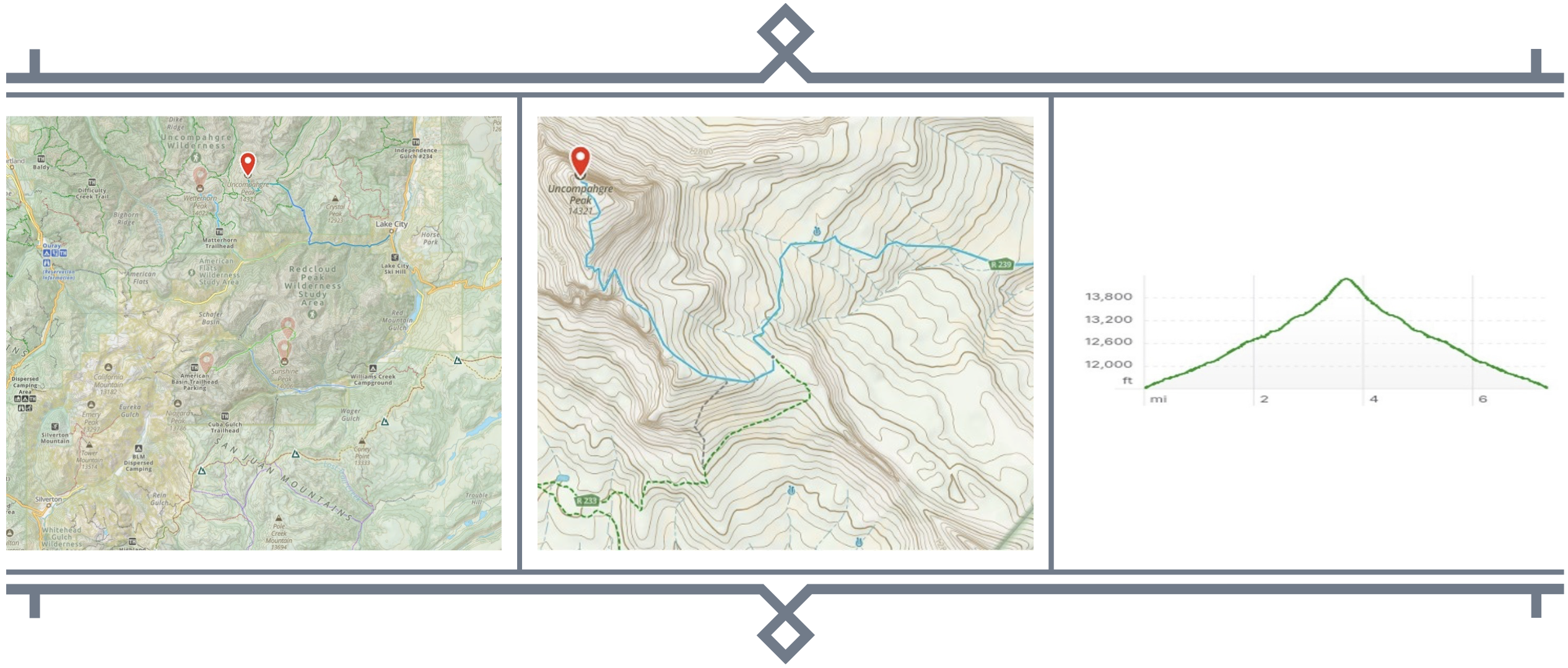
Uncompahgre peak is another Colorado 14er in the Ouray, Lake City, Silverton area of the San Juan Mountains in Southwest Colorado – 14,314 feet at the top.


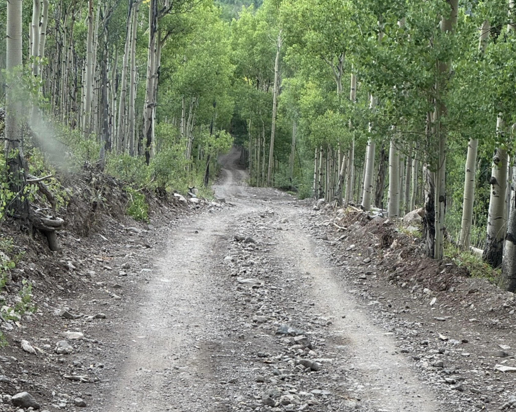
I did the hike in in mid August just two days after I did Handies Peak. The hike starts at the Nellie Creek trail head which is at the end of very rugged 4WD trail. The 4WD drive route starts at the Nellie Creek campground off the Alpine Loop road and the turn off is about 5 miles west of Lake City . The Alpine loop road is doable in any high clearance vehicle – a truck or SUV – and, unless there is ice/snow doesn’t require 4WD. The road from Nellie Creek campground to the Nellie Creek trailhead is a different beast altogether. There are multiple stream crossings and the terrain is rugged when dry and sketchy when wet – so a solid 4WD vehicle is a requirement.


I got to the trailhead before sunrise and had about 20 minutes to pack everything up. The route is  7.4 miles with about 2700 feet of elevation gain. There is a class 2/3 scramble near the top, but it is an otherwise straightforward hike. Route finding near the scramble can be challenging as the trail is hard to spot going through the rocks. It is good to have some pics saved on  your phone to help you find the way. I download pictures from 14ers.com, save them on my phone, the I can pull them up when the trail is hard to find.


The scenery along the trail is awesome and it’s a great alpine tundra hike even without the summits. Clouds rolled in on me as I summitted and I only got a few views from the summit when clouds broke. But the clouds kept the weather cooland I had a nice lunch at the top.


On the way down I was passed by a couple of runners who were, apparently, jogging the trail. I was duly impressed given the altitude and the steep grade near the top. I found the hike strenuous but very doable. I took extra breathers on the steep parts and near the top it was 10 steps and breathe, 10 steps and breathe…


The hike down was uneventful and the clouds cleared and it was really my most enjoyable hike of 2025.

screenshot 2026 05 02 at 6.29.25 pm
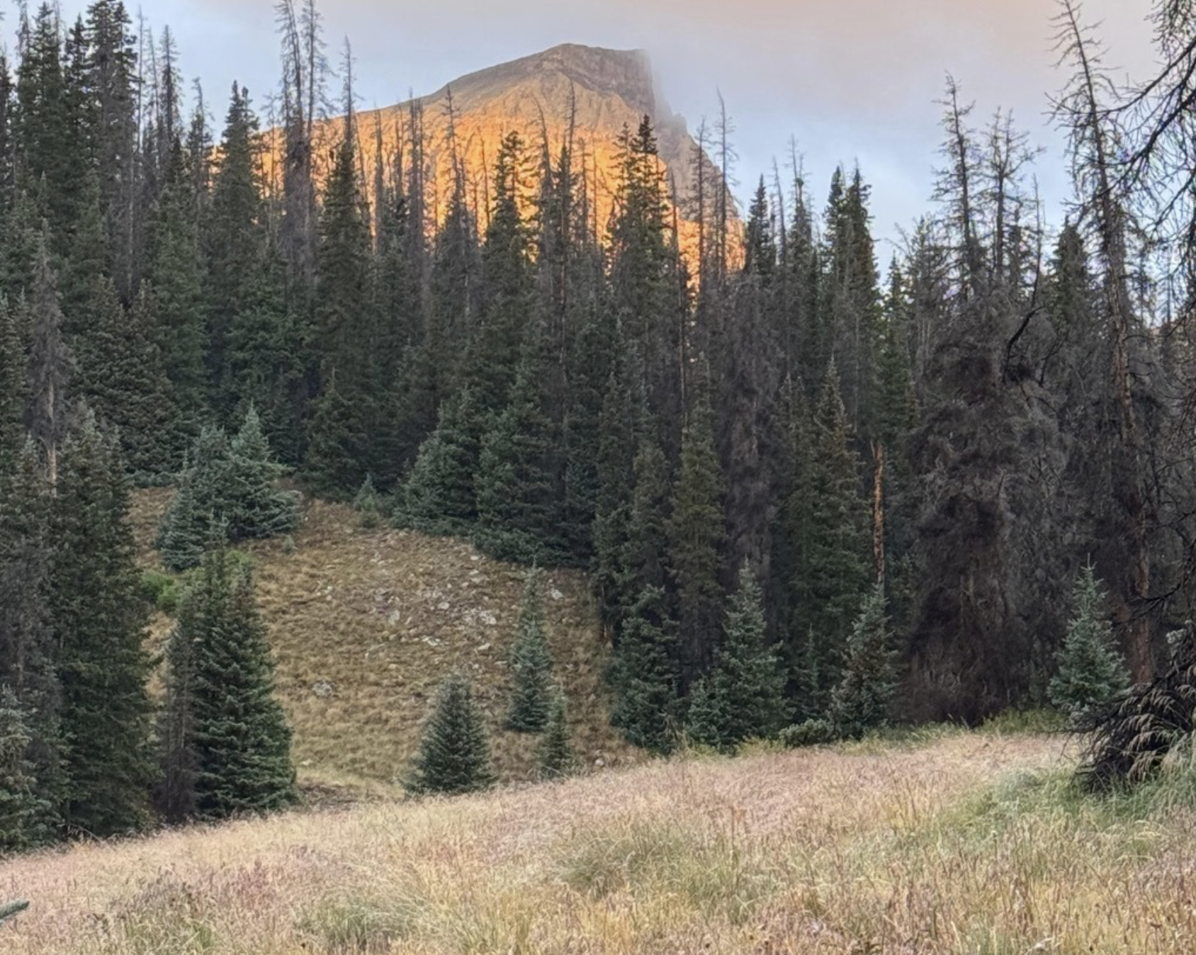
View of Uncompahgre Peak from the trail as the sun rose.
up 2
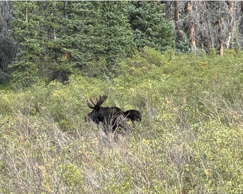
A moose spotted from the 4WD road near the Nellie Creek trail head.
up 3
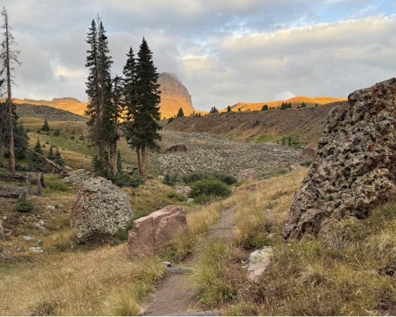
Another early morning view of Uncompahgre Peak from the trail.
up 4
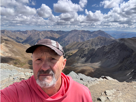
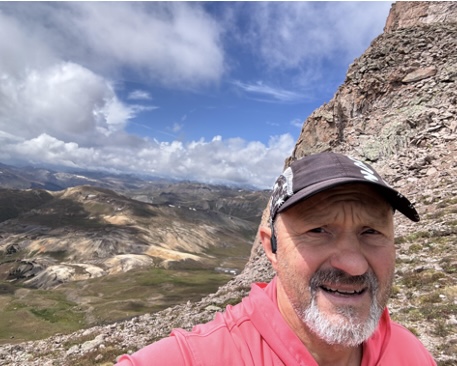
A selfie from near the top of Uncompahgre peak (yes, same shirt and hat as for Handies – I was camping alone with no partners to impress).
screenshot 2026 05 02 at 6.29.34 pm
The 4WD road leading to Nellie Creek Trail head. This is one of the less rugged sections.
up 6
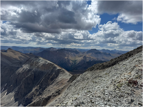
A view from the top through a break in the clouds.
screenshot 2026 05 02 at 1.52.22 pm
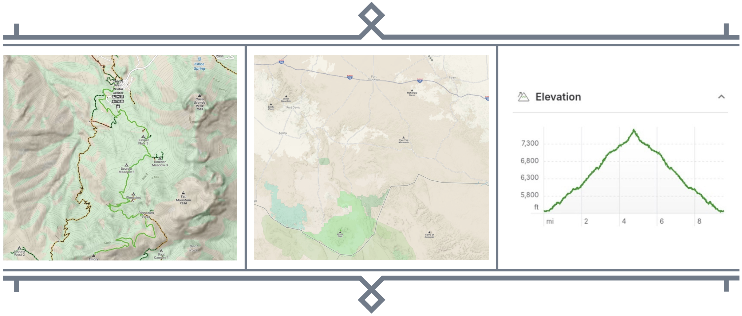
Emory Peak in Big Bend National Park. Big Bend is usually accessed from I10 via US385 from Fort Stockton (home of Piasano Pete).
screenshot 2026 05 02 at 1.54.44 pm
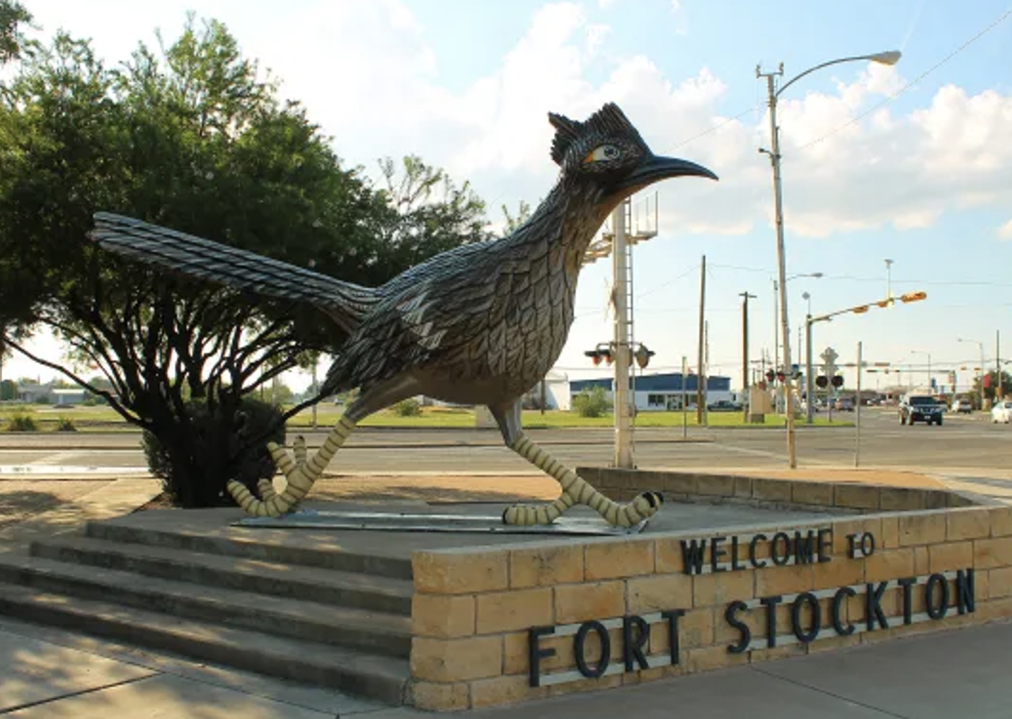
Piasano Pete – the famous mascot of Fort Stockton. “Welcome to Fort Stockton, home of Piasano Pete”

Big Bend used to be an annual pilgrimage for me and we almost always hike to the top of Emory Peak. It is the highest peak in the park and the views over into Mexico are spectacular.

The hike is 9.5 miles with about 2325 feet of elevation gain. It is only mildly strenuous, though the trail near the top can be steep and you might need a hand hold here and there. There real crux is the last 40 feet to the top which is class 3 climb with some mild exposure. Not everyone attempts this last bit, but it is very doable – more doable than appears at first site.

This year I did the hike with my good friend RG. We left from the Chisos Basin Campground an hour or two after sunrise. We paused for a snack at Pinnacles pass and then had a proper trail lunch at the top.  The hike down goes fastand we were back at the campground by about 3pm.  Fortunately, there is a store next to the visitor center that sells beer, so we could wash down the trail dust right away.

An excellent intermediate hike and you don’t struggle with high elevations the way you do when attempting a 14er. If you get a chance to visit Big Bend, I highly recommend scheduling a day to do this hike.

Given its geography, Big Bend is very hot in the summer and the shoulder seasons (spring and fall) are the best hiking seasons. March and April are the best months to visit the park overall and almost all of my Emory Peak hikes have been in spring.

emory peak photo 1
A selfie from the top of Emory Peak. This is at the top of the scramble to a boulder pile which is at the actual peak.
emory peak photo 2
View from the trail near to top looking off into Mexico.
emory peak photo 3
View from the trail looking back down to the Chisos Basin Campground that you can see just to the right of the tree branch in the foreground.
screenshot 2026 05 02 at 2.50.02 pm

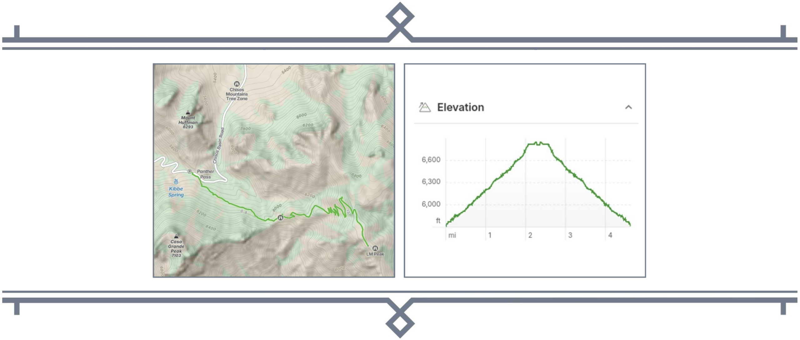
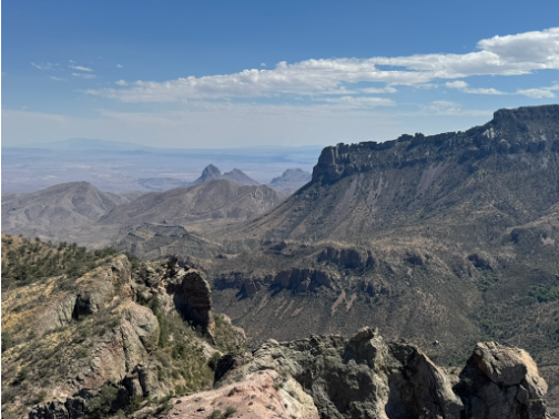
Lost Mine Peak is another hike in Big Bend National Park.  The route is only 4.6 miles with about 990 feet of elevation gain – it is a nice warm up hike when preparing for Emory Peak.  It only takes a few hours to complete.


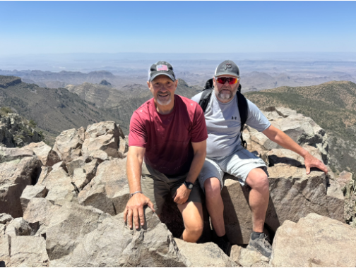
RG and I did this hike the day before Emory Peak as a warm up.  We got started pretty late in the morning and had a quick lunch at the top before returning and then setting up our campsite at the Chisos Basin Campground.  Even though the trail isn’t super challenging or very strenuous, you do get some nice views off into Mexico from Lost Mine Peak.

lmp fox
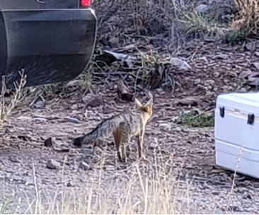
A fox poking around our campsite.
lmp roadrunner
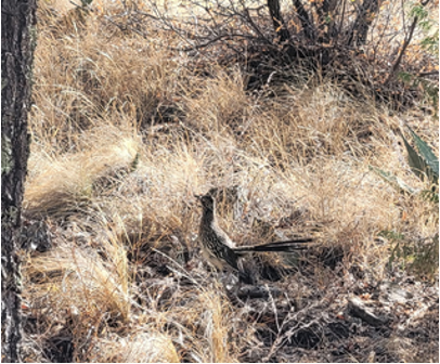
A RoadRunner (Piasano) we spotted near our campground.
lmp 1
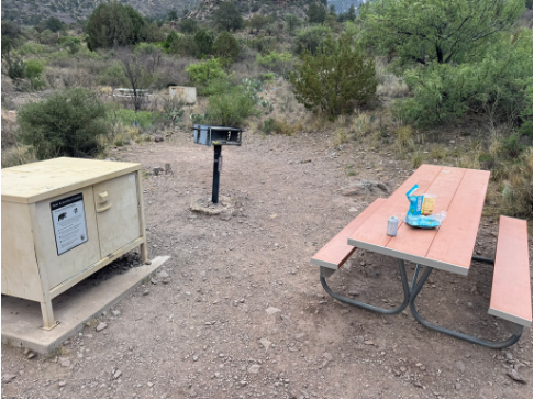
Campsite at Bid Bend. All the sites have a “bear box” for food, a charcoal grill (charcoal available at the store by the visitor center), and a table. Some sights have shade over the table – ours did not.
lmp 2
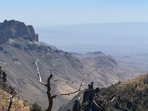
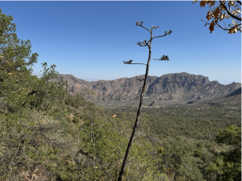
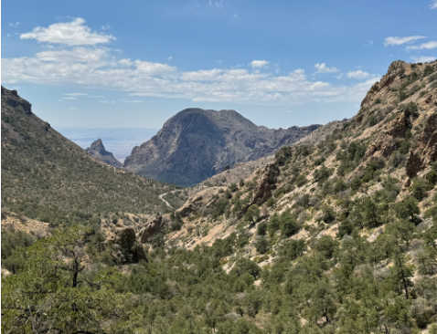
View from the Lost Mine Trail.
lmp 3
View from Lost Mine Peak.